Welcome to Deakin!
A family-owned and operated Vancouver-based company since 1971. We supply thousands of top-quality products to Earth Scientists and Field Professionals worldwide. Discover our iconic Deakin Cruiser Vests manufactured in-house and gear up for your next project!


New Arrivals
-
Hydro Flask Deakin Limited Edition 32oz Wide Mouth Chug Cap
Regular price $50.00 CADRegular priceUnit price per -
BRUNTON F-5030-N Geo Lite Transit Compass Northern
Regular price $169.00 CADRegular priceUnit price per -
BLAKLADER 4318 Hi-Vis Rain Coat
Regular price $175.00 CADRegular priceUnit price per -
BUSHPRO Speed Spade Stainless Steel MINI 25"
Regular price $70.00 CADRegular priceUnit price per -
DEAKIN Insulated Liner for 14' x 16' x 5' Canvas Wall Tent
Regular price $3,895.00 CADRegular priceUnit price per


Sale Items
-
DEAKIN Tent Fly 30' x 26' (SALE ITEM)
Regular price $399.00 CADRegular priceUnit price per$549.00 CADSale price $399.00 CADSale -
CARHARTT Men's R01 Duck Bib Overall Unlined
Regular price $85.00 CADRegular priceUnit price per$108.95 CADSale price $85.00 CADSale -
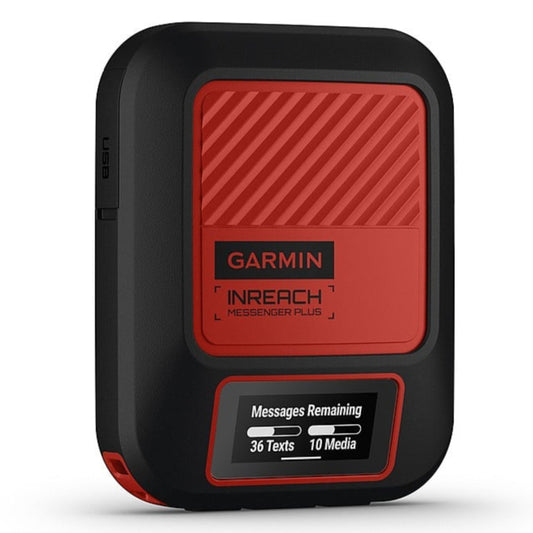
GARMIN InReach Messenger Plus
Regular price $419.99 CADRegular priceUnit price per$559.99 CADSale price $419.99 CADSale -
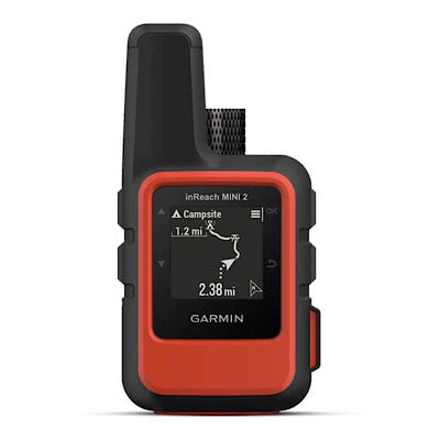
GARMIN InReach Mini 2 Satellite Communicator
Regular price $349.99 CADRegular priceUnit price per$489.99 CADSale price $349.99 CADSale -
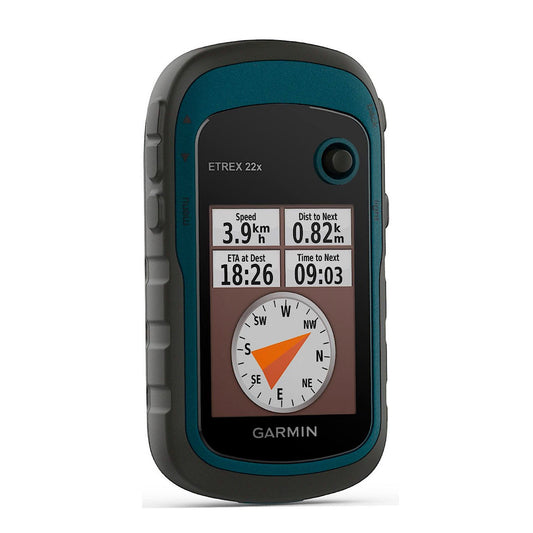
GARMIN 010-02256-00 eTrex 22X GPS
Regular price $229.00 CADRegular priceUnit price per$249.99 CADSale price $229.00 CADSale


Student's Corner
-
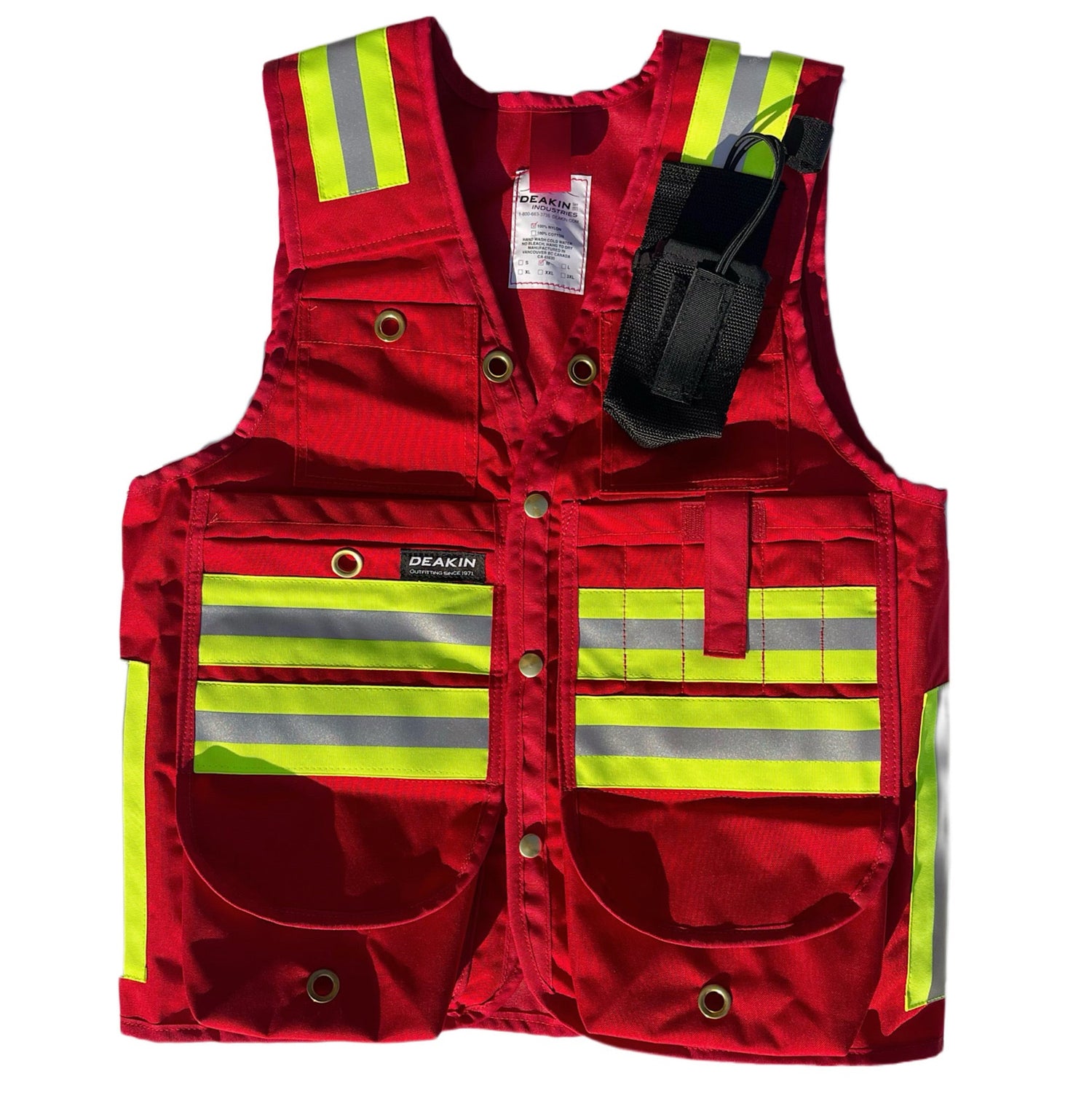
DEAKIN Nylon Cordura Reflective Cruiser Vest c/w Radio Pocket
Regular price From $184.00 CADRegular priceUnit price per -
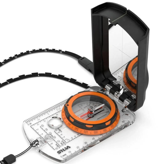
Silva Expedition S Compass
Regular price $95.00 CADRegular priceUnit price per -
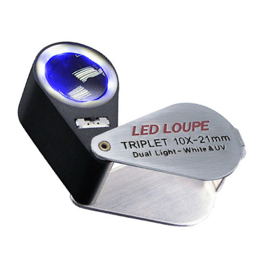
DEAKIN 10X Hand Lens Loupe with LED Light & UV
Regular price $34.00 CADRegular priceUnit price per -
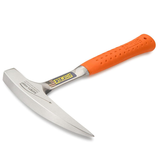
ESTWING EO-22P 22oz Rock Hammer Orange Grip
Regular price $60.00 CADRegular priceUnit price per -
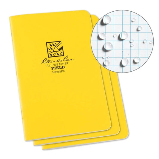
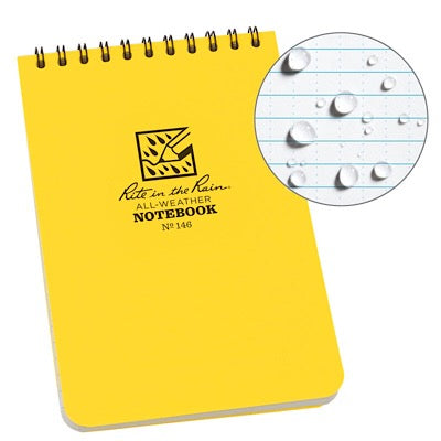
RITE IN THE RAIN Stapled Notebook
Regular price $9.50 CADRegular priceUnit price per